Monday, 2 May 2011

Friday: Three Shire Head, Axe Edge Moor and Shining Tor


Distance: 15.6 km (9.69 mi)
Time: 3 hours 28
Average speed: 4.5 km/h (2.8 mph)

I had always planned to be up a hillside somewhere on the 29th, but only decided exactly where the night before. This was the first real walk since the Saturday before, even though I'd had the entire week off. I'd collected two nasty blisters, one on each heel, and had been waiting for feet that were less sore.

When I parked at the Cat and Fiddle it was clear the weather was going to be very clear, possibly very warm but certainly very windy. I set off wearing the waterproof jacket for its windproof qualities. Apart from a couple of cyclists who were packing up at 0930, I didn't see anyone (outside a car) until I reached Three Shire Head. By that time, being down in the valley I'd shed the jacket.

The next person I met was actually working, he appeared to be repairing the path near Orchard Farm and had managed to block it with his lorry and digger. He let me pass, though I had to step over a large hole on the edge of a drop.

Near the top of Axe Edge Moor I was back in the full force of the wind, but I was keeping the jacket off because, nearing 11 am, things were getting much warmer. At the top, sheltering in the ruin were an old couple who remarked that I obviously hadn't any interest in the wedding either.

Now I started to bump into many more people, mainly cyclists. None were listening to radios.

Back at the Cat and Fiddle, still having energy and with untroubled feet I decided to push onwards and went up Shining Tor. It would have been a beautiful view, particularly with that clear blue sky, but there was a haze all around.

Sunday, 24 April 2011

30 mile training walk

Distance: 46.5 km (28.9 mi)
Time: 9 hours 51
Average speed: 4.72 km/h (2.93 mph)

I should really have done this walk today, when it's overcast, rather than yesterday when it was sunny and hot. I also wouldn't have truncated it to meet a deadline...

I set off a little before 8am with the first waypoint being Beacon Hill. Despite the sun beating down I could barely see Stafford Castle due to the smog already building. The sun was beating down and there was no wind. I was carrying a litre and a half of water and expecting to use all of it before the end.

I headed downhill, past the county showground where there were a lot of folks turning up for the Motorbike show, across Hopton Heath and down to Salt where I joined the Trent and Mersey canal. I headed east, passing Weston where I could see even more folks queueing for the county showground, and walking on towards Haywood Junction.

I left the canal to go through the Shugborough estate (lots of visitors) to get to Cannock Chase at the Punch Bowl. The Chase was the busiest I've seen this year with hordes of folks, mainly cyclists, all along the Sherbrooke valley. They seemed to have run out of parking at the visitor centre.

At the visitor centre I bought two small bottles of something fruity and cold to supplement my dwindling water supply and downed them quickly, which would turn out to be a mistake. I was planning to have my sandwiches there but in the end I could barely manage half a banana. The showers that had been forecast were plainly not going to turn up so I put on another layer of sun block and rethought my route.

Instead of heading up towards Castle Ring, I decided to just head up Kitbag Hill, then turn left and go down towards the Stony Brook Pools. Although the sun wasn't going away at least a breeze had arrived to cool me down. Walking down towards them I passed a man who asked if he was heading towards Marquis Drive. "Just up to the top there, then a little way past." Then a couple of minutes later a cyclist came up behind me and asked the way back to the car park.

"Which car park?" His face fell. "Was it the visitor centre?" "There was a building." "In which case it's back up there, then turn right." It was only after he'd disappeared from sight that I thought he might have meant Birches Valley (which hires out bikes) instead. In the unlikely event you're reading this, sorry.

With the water dwindling I headed up past Fairoak Lodge heading for the Tackeroo caravan site. However the liquids I'd already drunk to stave off the heat were backing up in the stomach. Just after I'd crossed the road and was about to reach the caravan site I had to stop and let them escape. Orange flavoured water has a better taste when coming up than many other things, if that's anything you want to take into consideration.

At the caravan site I refilled the water and resolved to be more sparing with it. Then a little retrace of the steps back to the Sherbrook valley before heading up to Anson's Bank and Brocton Field. Here I decided on another change of route, instead of heading down to Brocton Lodge and across the fields to Walton-on-the-Hill, I stayed on the route of the old railway line and down to Milford Common. Partially this was for a little variety as I hadn't been that way in ages but it was also because I knew it would be downhill all the way.

At Milford Common I treated myself to an ice cream before joining the Staffs and Worcester canal. From there it was just the standard canal side route back to Stafford and home. I also got my second wind on this stretch, at least until the final half-mile.

In the end the route was a little over a mile short of the intended, but I made that very important 6pm deadline.

I've also decided on the footware for the actual walk, the walking shoes rather than the boots. I used the shoes yesterday as it was all good paths and although I got a couple of blisters, no more than I'd expect if I was using boots and they are a lot lighter.

Two Walks

Friday 15th: Rugeley to Stafford
Distance: 19.8 km (12.3 mi)
Time: 3 hours 42
Average speed: 5.25 km/h (3.33 mph)

Another canal side walk.

Sunday 17: Macclesfield Forest and Shutlingsloe
Distance: 12.4 km (7.7 mi)
Time: 3 hours 6
Average speed: 4 km/h (2.5 mph)

A busy day in the Peak District. Sunny and warm, probably too much so.

Sunday, 10 April 2011

Saturday - the Long Mynd

Looking south from Pole Bank

Distance: 31.2 km (19.39 mi)
Time: 8 hours 3
Average speed: 3.88 km/h (2.41 mph)

This was the second 20 mile training walk (so a little short) but with some ascent/descent built in. The Long Mynd certainly delivered that as the route went from the foot to the top, about 300 m, twice.

First order of the day was to find a chemists in Church Stretton and buy some sunblock, as the forecast was for much sun. Accurately as it turned out.

The route was much the same as last year, along Carding Mill valley up to the top, north a bit then loop back around to go past Pole Bank and the Gliding Club before descending down towards Plowden and looping around eastwards before climbing back up. There I made my mistake.

I started following a wide track which I thought would lead me back up, but it didn't so I left it a just headed uphill. The route I picked turned out to be far too steep and I think I might have trespassed a little bit before I rejoined the Shropshire Way path. That cost me time as I slowed right down climbing up. I also realized I'd been drinking too much water as I could feel it sloshing around inside me. That meant an extended break while I recovered, both from the climb and the unpleasant feelings in the gut.

When I finally set off again I was rewarded with cramps in the legs. Fortunately they went away once I'd got back into my stride and I got to Cross Dyke without incident. There I ended up sharing the narrow path with steep sides with a dozen mountain bikers. Twice. I overtook them when they'd stopped for a rest, so why the lead biker had to suddenly brake and swear when he caught up with me a second time I don't know. That aside they were considerate.

The final descent down to Little Stretton is very steep, so I slowed down again. By that point I had been promising myself a pint of shandy in the pub for the last two hours. It was shut! Still that motivated me to do the last mile back to where I'd parked the car so I could get something soft to drink from the Co-op. It seems 1.5l isn't quite enough water for 20 miles, not in yesterday's weather.

Sunday, 27 March 2011

Saturday - Stone (and a little way beyond)

Distance: 33.8 km (21 mi)
Time: 6 hours 32 (including the time taken to eat the sandwiches)
Average speed: 5.17 km/h (3.21 mph)

This was the first of the 20 mile training walks, so I opted for a flat walk along the Trent & Mersey canal. To get to the canal I walked along the road to Sandon, passing some examples of the rare Staffordshire Llama.


Three llamas

After the blue skies of the last week or so, yesterday was completely clouded over, but at least there wasn't any of the threatened rain. A bit less wind would have been nice.

At Sandon I joined the Trent & Mersey heading west towards Stone. At Aston Lock just south of Stone I finally noticed that the mile post reads 46 miles to either end of the canal, making it the centre.

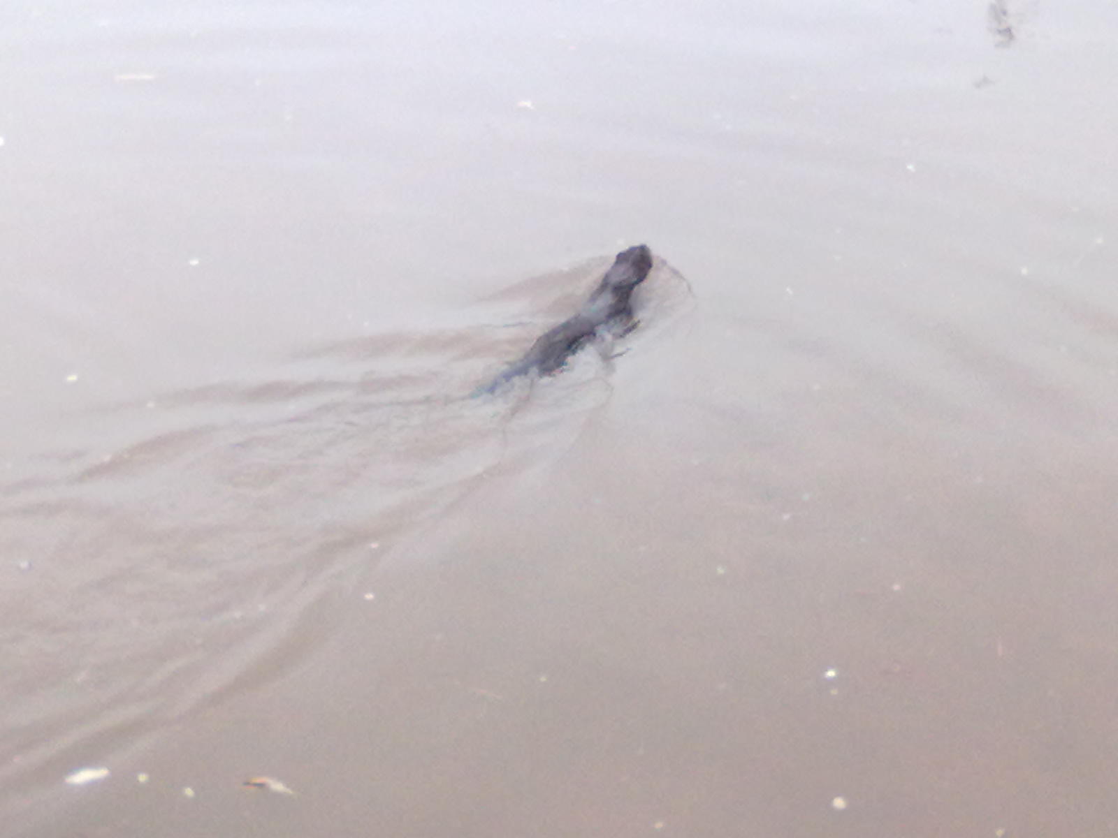
Coming up into Stone itself I and a couple of other people spotted a river creature narrowly avoiding being run over by a barge. It seemed to be trying to get up onto the western bank (the Trent side), but failing. That it was the side that the humans were walking along wasn't helping either. One of the other people there reckoned it was an immature otter. It certainly looked otter-like but I didn't think they were black.


An otter?

After that excitement it was just a steady plod along the canal through Stone and beyond to my destination: bridge 102 at the edge of Barlaston. There I had my sandwiches and a banana before turning around and heading back.

This time there was not sign of the (probable) otter, so I guess it got where it was going to.

At Aston I left the canal for a bit of variety. Unfortunately this involved walking along the path beside the A34. I did think of taking the Enson road, but I stuck on the main road until I reached Yarlet. There I did have enough willpower to avoid the pub and head off down towards Marston. That I also regretted 15 minutes later when I drank the last of my water. Still it was on the final stretch.

So that was the first 20 mile walk of the year. It left me stiff, but with no new blisters. I used a new pair of walking shoes, as opposed to my boots, so I think that I'll be using those for the K2B itself. I feel fine this morning, but I think I need to step up the training.

Friday, 25 March 2011

Friday 18th - Over the Chase

Distance: 22.2 km (13.79 mi)
Time: 4 hours 21
Average speed: 5.1 km/h (3.2 mph)

Last Friday was the start of a batch of good, spring-like weather. So good that I walked most of it in short sleeves, a hat and sunglasses.

This route was again Rugeley to Stafford but this time it was the scenic route. From work I went up to Stile Cop, then down along one of the bike trails to Miflins Valley. That particular trail isn't bike-only but is pretty steep so you have to watch out for fast bikes coming down. Fortunately the bikes were struggling going uphill.

I crossed the road and went past the pools and up to Fairoak Lodge, then across to the Tackeroo camping site and Rifle Range Corner. From there it's down to the Sherbrook Valley and up over the heathland to join the route of the old military railway. Leaving the Chase I took the footpaths across the fields from Brocton Lodge to Walton-on-the-Hill. Then I crossed the A513 and cut through the housing estate to get down to the canal to get to the other side of Baswich Bridge. Instead of continuing on to near Radford Bank, I took a footpath over the fields to the bank of the River Sow and followed that to Fairway, thence by the roads home.

It really was far too nice a day to be indoors. Unfortunately it's been that way most of this week when I've had to be in doors.

Sunday, 13 March 2011

Catching up

25th February - Canals again
Distance: 20.9 km (12.99 mi)
Time: 3 hours 49
Average speed: 5.48 km/h (3.4 mph)

This was the exact same route as earlier in the month, although the GPS reckoned it was 100 m shorter. A minute longer, which I can attribute to crossing roads in Stafford. The weather was kinder, less wind.

6th March - The Roaches
Distance: 13.8 km (8.58 mi)
Time: 3 hours 35
Average speed: 3.85 km/h (2.39 mph)

The first trip of the year to the Peak District and as usual it was to the Roaches, just north of Leek. A cold day with ice in the puddles. Only a couple of weeks earlier it had been much milder in the mornings.

12th March - Gnosall
Distance: 22.6 km (14.04 mi)
Time: 4 hours 4
Average speed: 5.56 km/h (3.45 mph)

A new route for me, for this one I followed the old railway line west out of Stafford as far as Gnosall. As it was flat and a proper path I tried an experiment and wore walking shoes rather than boots. The K2B is almost entirely roads and suits lighter footwear, but I do my training on rougher terrain wearing my boots and when it comes to doing the actual walk I prefer to use the same footwear I trained with.

The shoes were a cheap pair I'd got for everyday use, so I need to factor that I when considering the results (1 blister on the sole, could feel most of the stones on the path). No decision yet.